Here are some of my favorite easier hikes and I'll also include a list of stuff you should always carry with you.
Easier hikes:
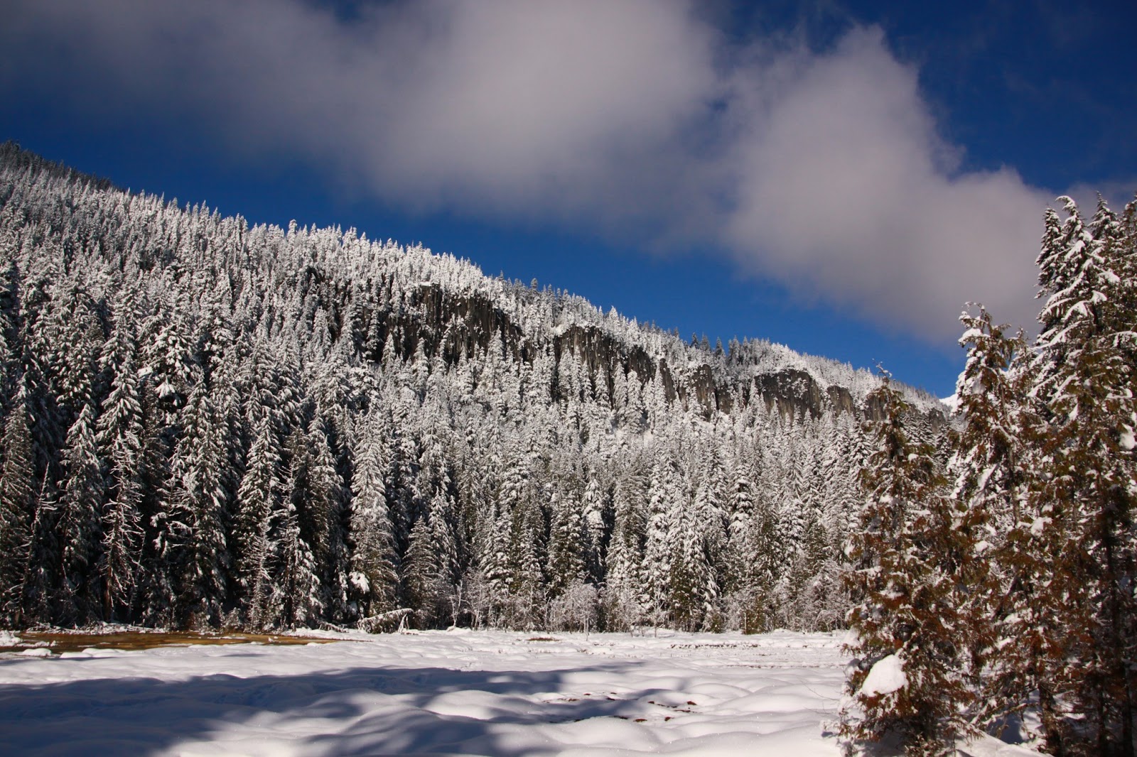
Lena Lake. Lower Lena lake is a trail that lots of Boy Scout troops frequent. On the Olympic Peninsula, Lena offers great photo opportunities with a reasonable amount of work. The 5 mile round trip has only 1300 feet of elevation gain and a high point of 2000 feet, but the scenery is spectacular.


Driving Directions:
From Hoodsport travel US 101 north for 14 miles. At milepost 318 turn left (west) onto Hamma Hamma River Road (Forest Road 25). Continue for 7.5 paved miles to the trailhead. 2. Ranger Falls - This is in the running for the biggest payoff for the effort in the area. Located in the Carbon River entrance to Mt Rainier National Park you walk 3 miles up the road to the trailhead because of a major washout in 2006. The trail then goes up 1 mile to Ranger Creek Falls. If you feel energetic continue on to Green Lake - as additional mile and you will only gain a total of 1600 feet of elevation. The payoff is huge in both cases, and the real hike is only 4 miles as the other 6-7 miles is a walk on a road.


High Rock Lookout - It only sounds scary. High Rock is 3.5 miles roundtrip with 1400 ft of elevation gain and has 360 degree views. It is a hike often chosen for moonlight hikes. Near Mt Rainier's Ashford entrance, you can hike it in the snow or wait for the late spring and summer.


Driving Directions: From Tacoma, drive State Highway 7 east to Elbe and continue on Highway 706 to Ashford. Continue east and turn right onto Kernahan Road. After crossing the Nisqually River, at about 1.5 miles, turn right onto Osborn Road and keep left onto Forest Road 85. Proceed 5.8 miles to FR 8440. Take the left fork, you'll see the sign for High Rock Lookout, and continue 4.5 miles to the trailhead on the left.
An alternative route to get the family sedan to the trailhead. Take Hwy. 7 east from Tacoma to Elbe, then turn east on to Hwy. 706 toward Ashford. Make a right turn on Kernahan Rd., then turn left onto FR 52 at 1.5 miles, and continue 3.3 miles to FR 8440, turn right and go about 9.5 miles on FR 8440 to Towhead Gap and the trailhead. Make sure you stay on FR 8440; there are a lot of forks along the way.
Rampart Ridge. Located out of Longmire in Mt Rainier National Park, Rampart Ridge offers great scenery in 4.5 miles with 1300 feet of elevation gain. We did it in the snow not too long ago and found it a nice option to get in a quick hike.


Driving Directions:
From Tacoma, drive east on State Route 7 to Elbe, then veer left onto SR 706 to enter the park at the Nisqually Entrance near Ashford. Continue east to Longmire. Park in the large lot behind the hotel and find the trailhead at the northeast end of the building complex, next to the road on the south side.
Otter Falls - Don't drive your new car out to this trailhead. It is a long washboard mess that is regularly called the worst Forest Service road around. Allow a lot of time to drive in and out. Otter Falls is 10 miles with only 650 ft of elevation gain. I like it better as a snowshoe because it is too easy as a hike.


Driving Directions:
From Seattle, drive east on I-90 to exit 34 (Edgewick Road). Turn left (north) onto 468th Street and follow it to the junction with the Middle Fork Snoqualmie Road (Forest Road 56). Turn right and continue up the Middle Fork Snoqualmie Road for 12.5 miles to the Taylor River Road (just past the Middle Fork trailhead parking area). Turn left onto the Taylor River Road and drive to a wide parking area at its end, in about 0.5 mile.
You can find more hikes on WTA.org , PNWHikes.com and other sites.
What to bring. You should carry water, food and the 10 essentials with you when you hike. For a ten mile hike you will need 2-4 quarts of water. An easy way to deliver the water is with a camelback water bladder that you fill and have in your pack. It has a tube to drink from and is easy to use. Carry food that has calorie and nutritional density. Think Clif bars, not Nature Valley Granola bars, or better yet a good old fashioned Peanut Butter and Jelly sandwich. Include nuts and dried fruits as well. The nuts provide protein, healthy fats and are filling. Dried fruits provide lasting energy.
The 10 essentials. Your pack should have a kit with these items in it. You hope to not ever need them, but carry them anyway.
Updated Ten Essential "Systems"
- Navigation (map and compass)
- Sun protection (sunglasses and sunscreen)
- Insulation (extra clothing)
- Illumination (headlamp/flashlight)
- First-aid supplies
- Fire (waterproof matches/lighter/candles)
- Repair kit and tools
- Nutrition (extra food) 1500-3000 calories of ready to eat food.
- Hydration (extra water)
- Emergency shelter
Classic Ten Essentials
- Map
- Compass
- Sunglasses and sunscreen
- Extra clothing
- Headlamp/flashlight
- First-aid supplies
- Firestarter
- Matches
- Knife
- Extra food
The next thing is to buy a pack that fits and has a waist belt. You don't want to carry the weight on your shoulders. You want it on your hips. The pack Uncle Bob left you in his will probably won't fit you well. For day hiking something between 28 and 40 liters of capacity. In the Northwest it is also nice if the pack comes with a rain cover.
Boots are important as well. Even easier Northwest trails require a stiff soled boot or you risk beating up your feet. If your boots and pack fit well you are likely to stick to it.
Get out there and breathe some fresh air!
Be very well and more soon....
No comments:
Post a Comment